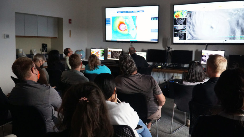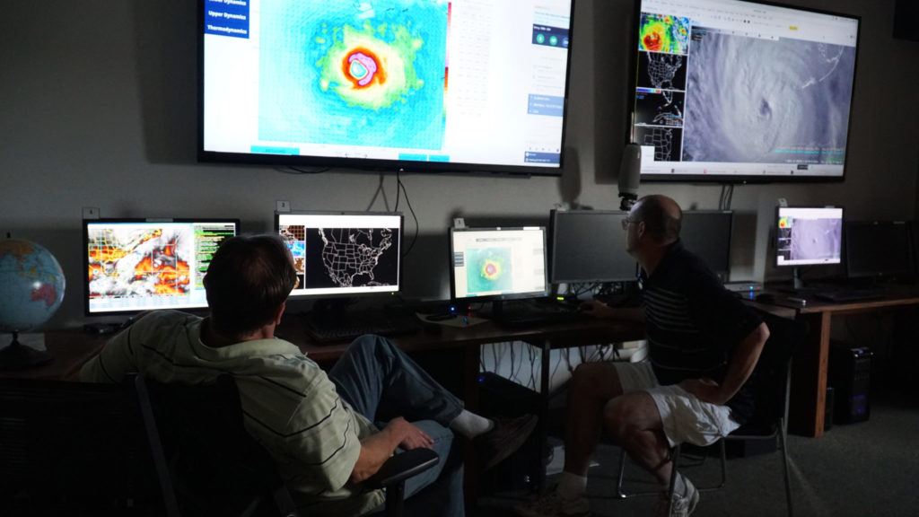
Every afternoon, weather researchers stationed at Colorado State University’s Foothills Campus gather in a briefing room with large screens and have a free-flowing discussion of weather events around the globe.
On Tuesday, all eyes were on Hurricane Ian, a category 4 (and possibly higher) hurricane about to hit the southwest coast of Florida and the surrounding region this afternoon.
Ian is predicted to be a deadly storm, with wind speeds of up to 155 miles per hour, and storm surges of up to 16 feet.
Amidst the relative quiet of a fall afternoon in Fort Collins, the researchers at the Cooperative Institute for Research in the Atmosphere talked through forecast trajectories and sped-up loops of the storm, courtesy of federal geostationary satellite images, as it barreled toward the U.S. Tuesday.
The Cooperative Institute for Research in the Atmosphere, or CIRA, is a federal research institute at CSU founded in 1980 and operated by the National Oceanic and Atmospheric Administration and CSU. CIRA’s researchers and staff support the operations of U.S. weather satellites, and they also conduct research to create new, innovative products for weather forecasting.
Ian is expected to make landfall today. Landfall is when the eye of the storm crosses the coast.
The satellite library at CIRA has images of Ian. The New York Times featured one of those images, tracking two hours of the storm moving across the Gulf of Mexico.