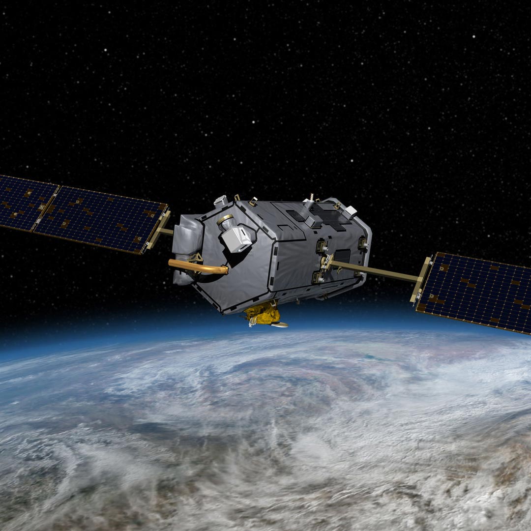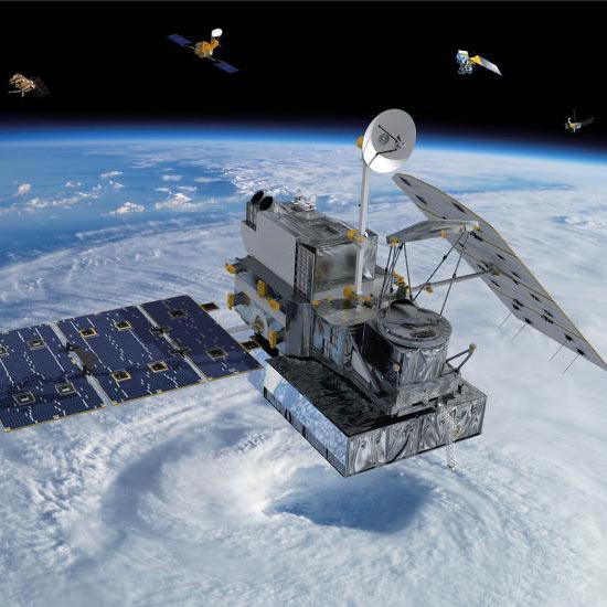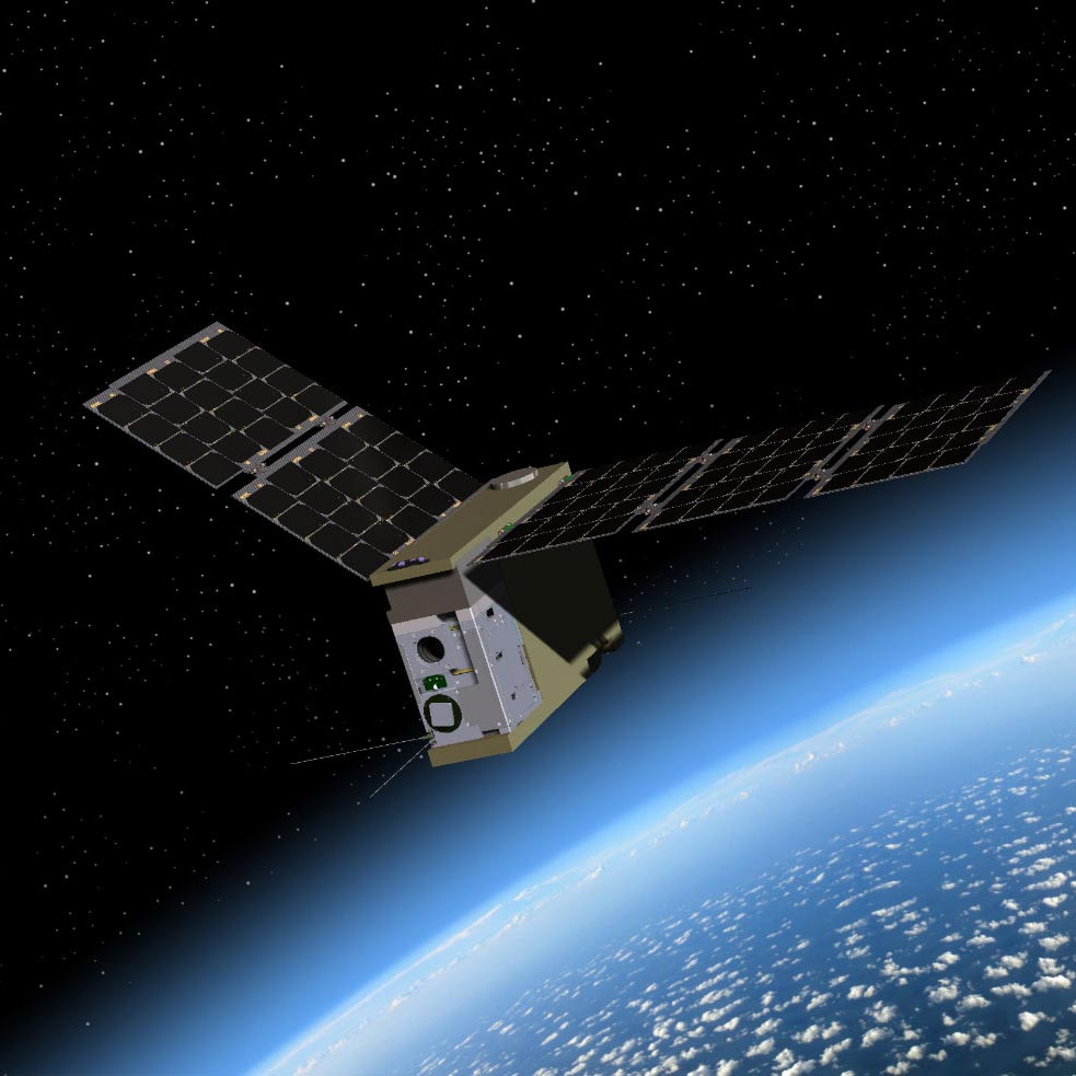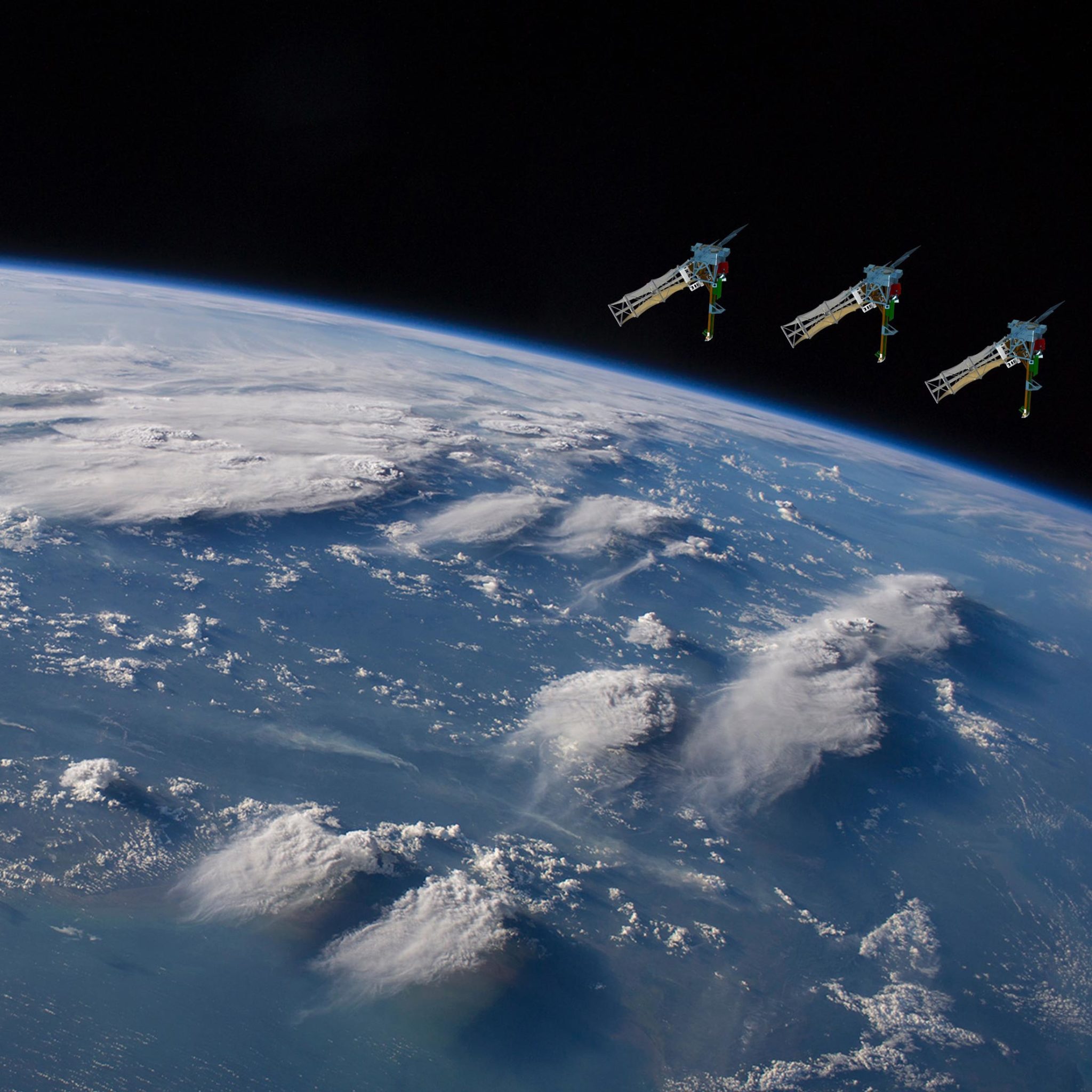
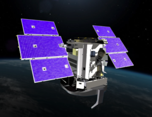
As planned, INCUS will consist of three small spacecraft, each carrying about a human’s weight in sensitive instrumentation: radars, antennas, batteries and other hardware. The middle spacecraft will carry an additional instrument that should be familiar to CSU aerospace enthusiasts: a millimeter-wave radiometer called TEMPEST-D, which just completed its own wildly successful NASA mission that was led by Steven Reising, professor in the Department of Electrical Engineering at CSU. Reising is now serving on the INCUS team.
“It’s plug and play, from the point of view that we are using TEMPEST-D exactly as it was flown as a tech demo,” explained van den Heever, who served on Reising’s team when he first pitched the radiometer technology to NASA over a decade ago. “The challenge for us will be to fit it into the spacecraft appropriately, and to make sure it’s operating properly alongside the three radars that we will also be using.”
TEMPEST-D flew as a technology demonstration, proving to NASA and the satellite research community that a miniaturized instrument inside a breadbox-sized satellite could collect time-resolved information from hurricanes and storms – all with the accuracy and resolution of weather satellites or ground radars many times its size and cost. “Because TEMPEST-D worked so well, it made a nice, clear pathway for us moving forward,” van den Heever said.
Combining proven technologies
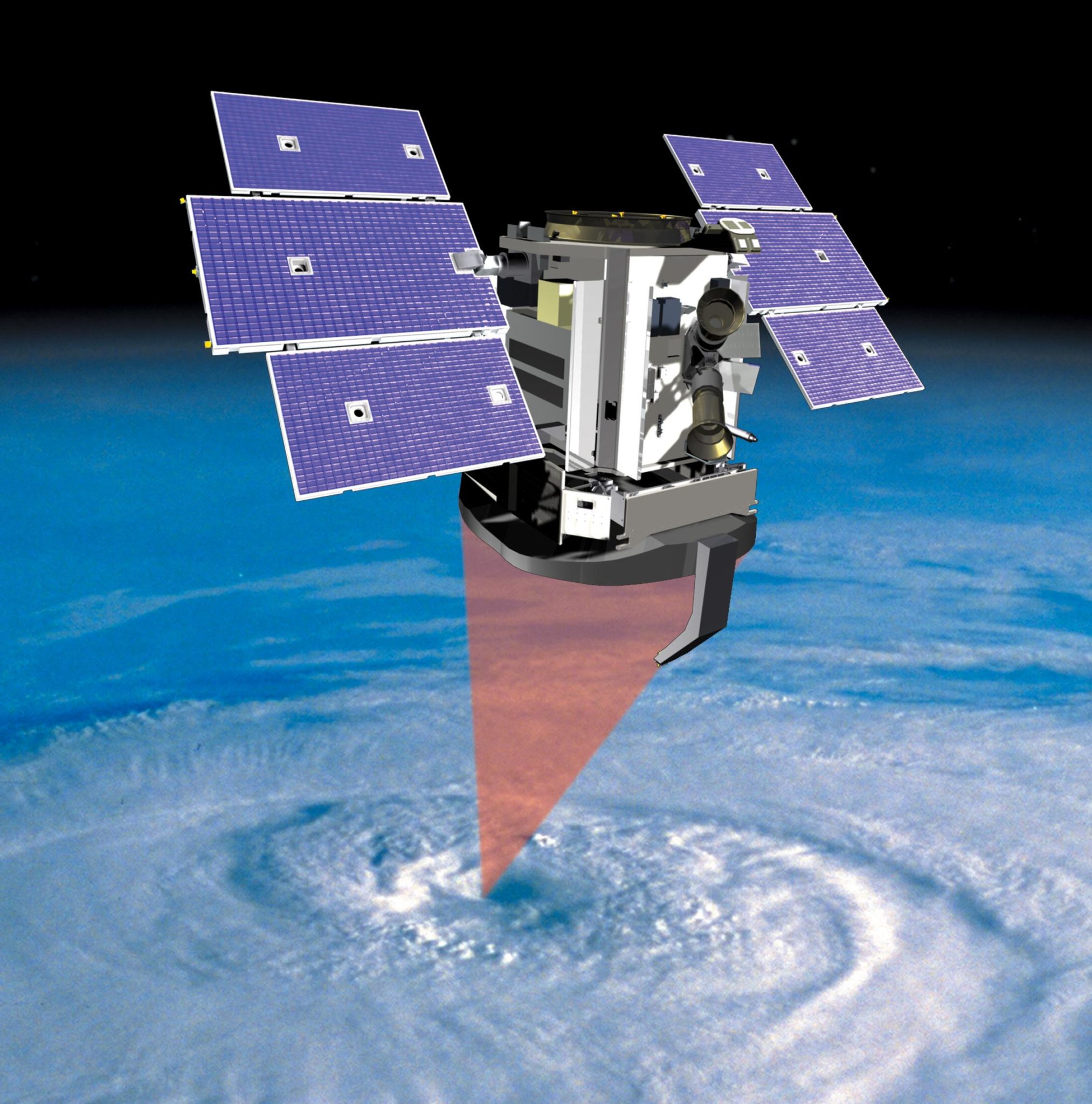
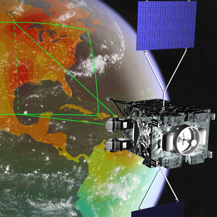
INCUS will showcase how proven technologies can be combined in innovative ways. The mission instrumentation includes a copy of Reising’s TEMPEST-D radiometer, along with three copies of a precipitation radar called RainCube. Funded by NASA and built by Jet Propulsion Laboratory, RainCube was a 2018 technology demonstration mission that featured a miniaturized Ka-band radar within a low-cost, quick-turnaround platform.
Unlike TEMPEST-D, which is a passive instrument, RainCube is an active instrument that works by sending downward radar signals to gather information about a storm’s inner workings. INCUS, van den Heever explains, will build on that capability by scanning side to side across the satellite path, allowing it to examine much more than the single slice seen by RainCube. The three INCUS satellites will obtain radar images seconds to minutes apart, as opposed to just at a single point. That will let scientists learn much more about how storm structures and motions change over time.
The TEMPEST-D instrument will allow the INCUS team to locate where these time-resolved radar measurements are taken within the storm, as well as provide information about storm anvils. These are large, umbrella-type clouds at the top of storms and have important, but not well understood impacts on climate. (In fact, “INCUS” means “anvil” in Latin.) The sum of the two parts in INCUS will allow scientists for the first time to see the 3D structure of storms and bring a new dimension to the dynamical understanding of Earth systems.
Storms begin with rapidly rising water and air that create towering clouds primed for lightning, rain and hail, according to the INCUS proposal. The greater the mass of water and air transported up, the larger the risk of extreme weather conditions. Yet the exact physics of this vertical transport of moisture, called convective mass flux, is a unicorn in weather and climate science. There have never been systematic measurements of such processes in real time because the miniaturization of instruments necessary to fly these combined sensors in a train of small satellites has not existed until now.
Marrying the TEMPEST-D and RainCube technologies has the power to answer crucial lingering questions in weather and climate science and to improve both forecasting and climate models. Among these questions are why convective storms, heavy precipitation and clouds occur exactly where and when they do. This question directly addresses a gap in knowledge identified by the National Academies of Sciences, Engineering and Medicine 2017-2027 Decadal Survey for Earth Science and Applications, which drives many of NASA’s scientific objectives.
Dealing with the data
The daily terabytes of data the INCUS satellites will collect will be managed, processed and distributed by an expert team at the Cooperative Institute for Research in the Atmosphere, a NOAA research center based at and partnering with CSU since 1980. CIRA’s mission is to support the operations of U.S. weather satellites, including the sophisticated Geostationary Operational Environmental Satellite series, and to innovate new products for improving weather forecasting and data distribution.
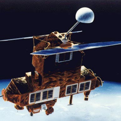
CSU is no stranger to high-profile research satellite missions, in large part due to its co-location and close ties with CIRA. The groundbreaking CloudSat mission, which sent a cloud-observation satellite into orbit in 2006, was led by then-CSU atmospheric science professor Graeme Stephens and is still operating today. Its data are distributed to users by the CIRA Data Processing Center, which was conceived as part of the original CloudSat mission and has been a critical component to its success. The CIRA team streamlined and economized how satellite data are transformed into useful information for meteorologists, researchers and others; the CIRA Data Processing Center will also support INCUS.
“In those days, CSU was recognized as an entity that was able to handle, distribute and process large amounts of satellite data,” explained Stephens, a University Distinguished Professor Emeritus who now heads the JPL Center for Climate Science. “What CIRA did was show that you can deliver data processing for large satellite missions without an army. What CIRA did was break the mold.”
INCUS will produce about 15 times the data of CloudSat, according to CIRA senior research associate Phil Partain, who leads the Data Processing Center at CIRA and has worked on CloudSat since the early 2000s. “Juggling and dealing with that amount of data is a technical challenge that’s really fun. The science that’s going to come from the INCUS experiment, and measurements that have never been made before, are the most exciting aspects for me,” Partain said.
Partain’s team also processes data for the GeoCarb mission, which measures greenhouse gases and vegetation health from space. One of the lead algorithm developers for that mission, Chris O’Dell, is a senior research associate at CIRA.
CloudSat, which was awarded to CSU in the early days of NASA’s competitive Earth-science missions, for the first time provided information about how clouds in the Earth’s atmosphere influence climate. It allowed scientists to glue together detailed measurements of rain and clouds, which had previously operated under separate observation systems. INCUS will shed new light on the dynamical nature of clouds and rain, capturing cloud motions and their changes in a way that CloudSat and other instrumentation could not do.
“CloudSat paved the way by demonstrating that a university like CSU could lead something like this,” Stephens said.
The legacy on which INCUS will move Earth-observation and climate science forward stretches back even further than CloudSat to the vision of Tom Vonder Haar, University Distinguished Professor Emeritus in atmospheric science and a mentor to both Stephens and to van den Heever.
“Tom’s vision back in the ’70s was to make CSU a world-leading place that collects satellite meteorology data for a variety of different applications,” Stephens said.