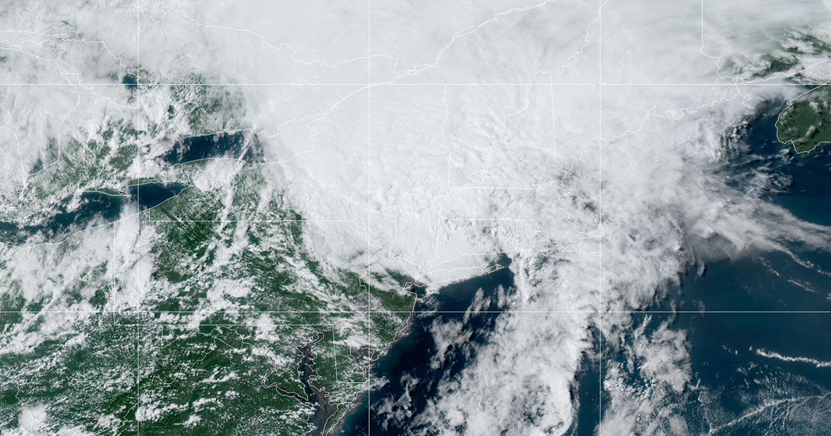
Tropical Storm Isaias. Credit: NOAA/NESDIS/STAR GOES East satellite
Colorado State University hurricane researchers have increased their forecast and now predict an extremely active Atlantic hurricane season in 2020, citing very warm sea surface temperatures and very low wind shear in the tropical Atlantic as primary factors. Tropical Atlantic sea surface temperatures averaged over the past month are at their fourth-highest levels since 1982, trailing only the very active Atlantic hurricane seasons of 2005, 2010 and 2017. Warmer-than-normal sea surface temperatures provide more fuel for tropical cyclone formation and intensification. They are also associated with a more unstable atmosphere as well as moister air, both of which favor organized thunderstorm activity that is necessary for hurricane development.
Vertical wind shear during July was also extremely weak across the tropical Atlantic and Caribbean. Strong vertical wind shear tears apart hurricanes as they are trying to develop and intensify, and vertical reduced wind shear aids in hurricane development. When vertical wind shear is low in July, it also tends to be low during the peak of the Atlantic hurricane season from August-October.
The tropical eastern and central Pacific currently has cool neutral ENSO conditions, that is, the water temperatures are slightly below average. CSU anticipates that we will either continue to have cool neutral ENSO conditions or potentially weak La Niña conditions for the peak of the Atlantic hurricane season. El Niño tends to increase upper-level westerly winds across the Caribbean into the tropical Atlantic, tearing apart hurricanes as they try to form. Atlantic hurricane seasons tend to be much more active when the tropical Pacific has either cool neutral or La Niña conditions.
24 named storms
The CSU Tropical Meteorology Project team is predicting 24 named storms in 2020, including the nine named storms that have already formed (Arthur, Bertha, Cristobal, Dolly, Edouard, Fay, Gonzalo, Hanna and Isaias). Of those, researchers expect 12 to become hurricanes (including the two that have already formed, Hanna and Isaias) and five to reach major hurricane strength (Saffir/Simpson category 3-4-5) with sustained winds of 111 miles per hour or greater. Twelve hurricanes is the most the team has ever predicted in their August forecast. This is an increase from the early July seasonal forecast which predicted 20 named storms, nine hurricanes and four major hurricanes.
The team based this forecast on a statistical model that uses approximately 40 years of historical data that include Atlantic sea surface temperatures, sea level pressures, vertical wind shear levels (the change in wind direction and speed with height in the atmosphere), El Niño (warming of waters in the central and eastern tropical Pacific), and other factors.
So far, the 2020 hurricane season is exhibiting characteristics similar to 1966, 1995, 2003, 2005, 2010 and 2017. “All of these seasons were very active in the Atlantic basin, with several (most notably 1995, 2005 and 2017) being extremely active,” said Phil Klotzbach, research scientist in the CSU Department of Atmospheric Science and lead author of the report.
The team predicts that 2020 hurricane activity will be about 190 percent of the average season. By comparison, 2019’s hurricane activity was about 120 percent of the average season. The 2019 season was most notable for Hurricane Dorian which devastated the northwestern Bahamas and for Tropical Storm Imelda which caused tremendous flooding in portions of southeast Texas.
This is the 37th year that the CSU hurricane research team has issued an Atlantic basin seasonal hurricane forecast. The Tropical Meteorology Project team includes Michael Bell, associate professor in the CSU Department of Atmospheric Science, and Jhordanne Jones, graduate research assistant in the same department. Bill Gray, who originated the seasonal forecasts, launched the report in 1984 and continued to author them until his death in 2016.
The CSU forecast is intended to provide a best estimate of activity in the Atlantic during the upcoming season – not an exact measure.
As always, the researchers caution coastal residents to take proper precautions.
“It takes only one storm near you to make this an active season,” Bell said.
Landfalling probability included in report
The report also includes the post-Aug. 4 probability of major hurricanes making landfall in the continental U.S. and Caribbean:
- 74 percent for the entire U.S. coastline (full-season average for the last century is 52 percent)
- 49 percent for the U.S. East Coast including the Florida peninsula (full-season average for the last century is 31 percent)
- 48 percent for the Gulf Coast from the Florida panhandle westward to Brownsville (full-season average for the last century is 30 percent)
- 63 percent for the Caribbean (full-season average for the last century is 42 percent)
The forecast team also tracks the likelihood of tropical storm-force, hurricane-force and major hurricane-force winds occurring at specific locations along the coastal United States, the Caribbean and Central America through its Landfall Probability website.
The site provides information for all coastal states as well as 11 regions and 205 individual counties along the U.S. coastline from Brownsville, Texas, to Eastport, Maine. Landfall probabilities for regions and counties are adjusted based on the current climate and its projected effects on the upcoming hurricane season.
The CSU team updates the site regularly with assistance from the GeoGraphics Laboratory at Bridgewater State University in Massachusetts.
The Tropical Meteorology Project is also excited to announce that their website has recently been redesigned and now includes improved browsing capability and increased functionality.
Funding for this year’s report has been provided by Interstate Restoration, Ironshore Insurance, the Insurance Information Institute, Weatherboy and a grant from the G. Unger Vetlesen Foundation.
Extended range Atlantic Basin hurricane forecast for 2020
Released Aug. 5, 2020
Tropical Cyclone Parameters Extended Range
(1981-2010 Climatological Average Forecast for 2020
in parentheses)
Named Storms (12.1)* 24**
Named Storm Days (59.4) 100
Hurricanes (6.4) 12
Hurricane Days (24.2) 45
Major Hurricanes (2.7) 5
Major Hurricane Days (6.2) 11
Accumulated Cyclone Energy (106) 200
Net Tropical Cyclone Activity (116%) 215
* Numbers in ( ) represent averages based on 1981-2010 data.
** Forecast numbers include storms that have already formed (Arthur, Bertha, Cristobal, Dolly, Edouard, Fay, Gonzalo, Hanna and Isaias)