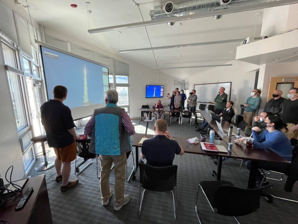
An unusually large in-person crowd gathered Tuesday at CSU’s Foothills Campus in the Director’s Conference Room at the Cooperative Institute for Research in the Atmosphere or CIRA. The day was special: If everything went according to schedule, the nation’s newest geostationary weather-observing satellite, GOES-T, was planned to launch near the end of the meeting.
After more than a year of meeting from home offices and basements, there was a marked desire by CIRA researchers to be there and witness this momentous occasion. CIRA is one of the premier institutes engaging in research using the data from the GOES series of satellites as part of its cooperative partnership with NOAA.
CIRA has been here before. Exactly four years ago to the day, researchers gathered to applaud the March 1, 2018 launch of the GOES-S satellite on an identical Atlas V rocket from the Kennedy Space Center. Once in orbit, the data from this new satellite gave CIRA researchers a new look at the Earth from over the Pacific Ocean.
But not all was well with the instrument aboard the new satellite launched in 2018. One of the heat pipes on the Advanced Baseline Imager instrument on GOES-S, used to cool the instrument, was blocked, and the infrared imagery from the instrument was severely impacted. Along with engineers and scientists from NASA, NOAA, and other institutions, CIRA researchers worked around the clock to render the data usable and, more critically, to help develop engineering fixes to prevent the same error from affecting subsequent satellites.
Fast forward four years. It’s March 1, 2022, and GOES-T, complete with a revamped cooling system, is ready to launch. After a two-month-long on-orbit checkout period, GOES-T will take its place as the newest ‘GOES-West’ satellite, becoming the principal weather observing platform over the western United States and the Pacific Ocean. CIRA researchers will be there to process the first-light imagery from the new satellite, continuing to monitor its data and signal from the ground station located at the Foothills Campus.
Much of the imagery from the GOES series of satellites was developed by CIRA researchers – the full-color imagery (called the GeoColor product) that adorns the covers of major media outlets anytime there’s a tropical storm, or a volcanic eruption. Real-time wildfire signature products, also developed at CIRA, are used to diagnose and fight fires such as the destructive Cameron Peak and Marshall fires.
The data from satellites like GOES-T will have years-long impact on our understanding of the Earth and its environment. Which is why it’s always special to be there, in person if possible, to witness the beginning of the next chapter of the GOES saga.