


A new product that alerts pilots to clouds, icy conditions and dangerously cold temperatures is tapping into NOAA’s Joint Polar Satellite System’s satellites for the critical data it needs.
Starting next month, scientists will start the first round of testing of this product on flight paths over Alaska. The product, which combines cloud measurements from the Visible Infrared Imaging Radiometer Suite (VIIRS) instrument on the Suomi-National Polar-Orbiting Partnership (NPP) and NOAA-20 satellites with atmospheric sounding data from the Advanced Technology Microwave Sounder (ATMS) instrument and pilot reports, is designed to help pilots understand the extent of clouds and hazardous icing conditions on a given flight route.
This product, which is funded by the NOAA Cooperative Institute for Research in the Atmosphere (CIRA) at Colorado State University, was developed in response to specific needs from the aviation community and a demand for satellite cloud products for aviation weather applications, said Yoo-Jeong Noh, a research scientist with CIRA and one of the product’s developers.
“Before this approach, we usually just provided a two-dimensional view of the cloud tops,” she said. “But aviation users are always interested in the vertical structure of clouds.”
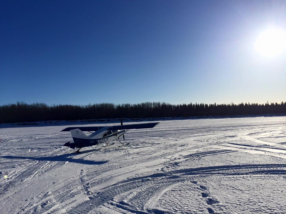
Adam White is one of those users. White is a pilot who lives in interior Alaska and flies to remote areas across the state to deliver supplies to radio stations and to work with youth camps. He flies a Cessna 206, which “stays on wheels,” and a Maule M-7 bush plane, which he equips with skis in the winter and floats in the summer.
“While the tops of clouds are important, I need to know what the clouds are made of, and I need to know how far down they go and how close they are to the ground,” he said. “And this is the first time we’ve had a product that helps us answer these questions.”
In some clouds, supercooled droplets turn to ice and accumulate on the windshield, nose, propeller and wings of the plane, changing the shape of the airfoil and the weight of the aircraft, said Tom George, a pilot and the Alaska regional manager for the Aircraft Owners and Pilots Association.
“Ice is a serious issue for pilots, so they either need to avoid it or have the proper equipment to deal with it,” George said.
Icy conditions makes pilots of small planes especially nervous, White said.
“The shape of the wings is critical for an aircraft to fly,” he said. “If you change that shape, it’s not generating lift in the same way. And you can get to the point where they can’t generate lift at all. That’s a severe case, but it can happen frighteningly quick.”
In the lower 48, more information is available on flight conditions, especially on busy flight routes. But in Alaska, where colder conditions persist throughout the year, and where there are fewer weather radars and limited surface observation data, satellite data are especially useful. Especially from satellites like Suomi-NPP and NOAA-20, which, because of their polar orbit, cross over Alaska multiple times in a day with a 50-minute delay between the two.
The product has been in development for about two years, but recent updates were made that include an expanded temperature range, adaptations for users with color blindness, and an updated user guide.
The next step is a demonstration phase, which involves sending the product to a large group of pilots for testing and feedback.
In the meantime, White, a government liaison for the Alaska Airmen’s Association and a participant in the JPSS program’s aviation initiative, said he’s already using the product to inform flight decisions.
“I’ve made decisions not to fly on a particular day because of what this product has shown me, even in the testing phase,” he said. “It’s saved me from potential problems, whether it’s icing or clouds down to the ground that I wouldn’t be able to navigate.”
The Joint Polar Satellite System (JPSS) series of satellites enable forecasters and scientists to monitor and predict weather patterns with greater accuracy and to study long-term climate trends by extending the more than 30-year satellite data record. JPSS is a collaborative program between the National Oceanic and Atmospheric Administration (NOAA) and its acquisition agent, the National Aeronautics and Space Administration (NASA). The Suomi NPP satellite served as the bridge between NASA’s Earth Observing System of satellites and JPSS. For the JPSS-2, -3 and -4 satellites, NOAA is responsible for managing and operating the JPSS program, and developing the ground segment, while NASA is responsible for developing and building the JPSS instruments, spacecraft, and providing launch services.
By Jenny Marder
NASA’s Goddard Space Flight Center, Greenbelt, Md.
