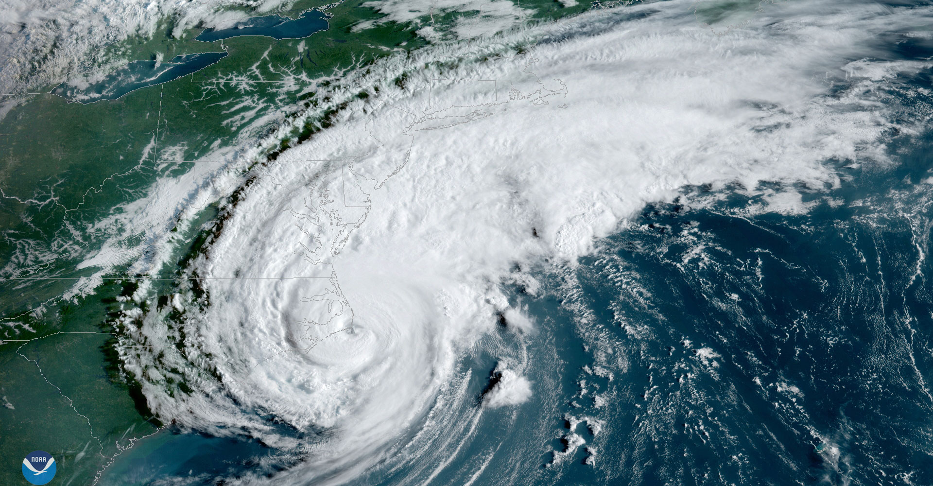
Hurricane Dorian making landfall near North Carolina. Credit: NOAA
The 2019 hurricane season ended up slightly above average – a bit more active than was predicted by the CSU Tropical Meteorology Project forecast team’s later updates issued in June, July and August, and somewhat more active than was predicted in April. Of most note during the 2019 Atlantic hurricane season was Hurricane Dorian, which devastated the northwestern Bahamas before significantly impacting the southeast United States and the Atlantic Provinces of Canada. Tropical Storm Imelda also inundated southeast Texas with devastating flooding.
“The 2019 Atlantic hurricane season was well above-average for the number of named storms, and near-normal for the number of hurricanes and major (Category 3-plus on the Saffir-Simpson Scale) hurricanes. Overall, our first seasonal forecast issued in early April was somewhat too low, while updates issued in June, July and August slightly underestimated Atlantic hurricane activity,” said Phil Klotzbach, lead author of the forecast. Seasonal Accumulated Cyclone Energy (ACE) was approximately 120 percent of the 1981-2010 average. While the season was very active for the total number of named storms (18 compared with the 1981-2010 average of 12), seven of the 18 named storms that formed lasted one day or less – the most Atlantic storms lasting one day or less on record.
The report summarizes all tropical cyclone activity in the Atlantic basin during the 2019 hurricane season and compares the team’s seasonal and two-week forecasts to what occurred.
The season was more active than anticipated in the early April forecast, due to the initial assessment that El Niño would persist through the Atlantic hurricane season. El Niño faded rapidly during the early part of the summer, likely creating vertical wind shear conditions that were more favorable for hurricanes than originally predicted. Later updates to the seasonal forecast noted an increased likelihood for a faster dissipation of El Niño, similar to what occurred.
The tropical Atlantic was slightly warmer than normal during the peak of the hurricane season. Anomalously warm sea surface temperatures enhance Atlantic hurricane formation through several mechanisms. Warm sea surface temperatures provide more fuel for developing tropical cyclones. They also tend to be associated with lower pressure and moister mid-level air, which also enhance hurricane activity.
Predictions vs. observed activity
CSU’s initial forecast for the 2019 season was issued on April 4 and predicted slightly below-average hurricane activity. The team called for 13 named storms, five hurricanes and two major hurricanes. The CSU team slightly increased its forecast on June 4 and called for 14 named storms, six hurricanes and two major hurricanes. The July 9 and Aug. 5 updates called for similar levels of activity to the early June update. The July 9 outlook predicted 14 named storms, six hurricanes and two major hurricanes, while the Aug. 5 outlook called for 14 named storms, seven hurricanes and two major hurricanes.
Observed activity was 18 named storms, six hurricanes and three major hurricanes. Slightly below-average ACE of 80 was predicted on April 5, with near-average ACE of 100 predicted on June 4 and July 9, and a slight increase to 105 ACE on August 5. Observed ACE through November 19 was 125. The 1981-2010 average Atlantic ACE was 106.
The team bases its annual forecasts on 60 years of historical data and includes factors such as Atlantic sea surface temperatures and sea level pressures; levels of vertical wind shear (the change in wind direction and speed with height); El Niño, which is an anomalous warming of waters in the central and eastern tropical Pacific; and other factors. While these forecast factors generally work well and explain approximately 50-60 percent of the year-to-year hurricane variability in these 60 years of historical data, there remains 40-50 percent of this variability which is not explained.
Hurricane statistics for 2019 contained in the report include:
- No Atlantic named storms formed between July 12 and Aug. 20. This is the first time this had occurred since 1982.
- Ten named storm formations occurred in the Atlantic between Aug. 21 and Sept. 23. This ties 2019 with 1949 and 2010 for the most Atlantic named storm formation between Aug. 21 and Sept. 23 on record.
- Hurricane Dorian’s maximum lifetime intensity of 160 knots was the strongest for any Atlantic hurricane outside of the tropics (>23.5° N) on record.
- Hurricane Dorian was the strongest hurricane to make landfall in the Bahamas on record.
- Hurricane Lorenzo was the farthest-east Atlantic Category 5 hurricane formation on record (at 45°W) – shattering the old record of Hurricane Hugo at 54.6°W.
The Tropical Meteorology Project has attributed the upturn in major hurricane activity since 1995 as well as the earlier increase in major hurricane activity from the late 1940s through the mid-1960s to natural multi-decadal variability in the strength of the Atlantic Multidecadal Oscillation (AMO). A concomitant increase in several favorable hurricane-enhancing parameters occur in the tropical Atlantic during the positive phase of this oscillation – while these same parameters tend to suppress hurricanes during the negative phase of this oscillation.
Tropical Meteorology Project at CSU
The Tropical Meteorology Project has been issuing forecasts for the past 36 years. The CSU team was founded by the late William Gray, of CSU’s Department of Atmospheric Science. A brief qualitative outlook for the 2020 hurricane season will be issued on Thursday, Dec. 12, with a first full forecast issued in early April 2020.