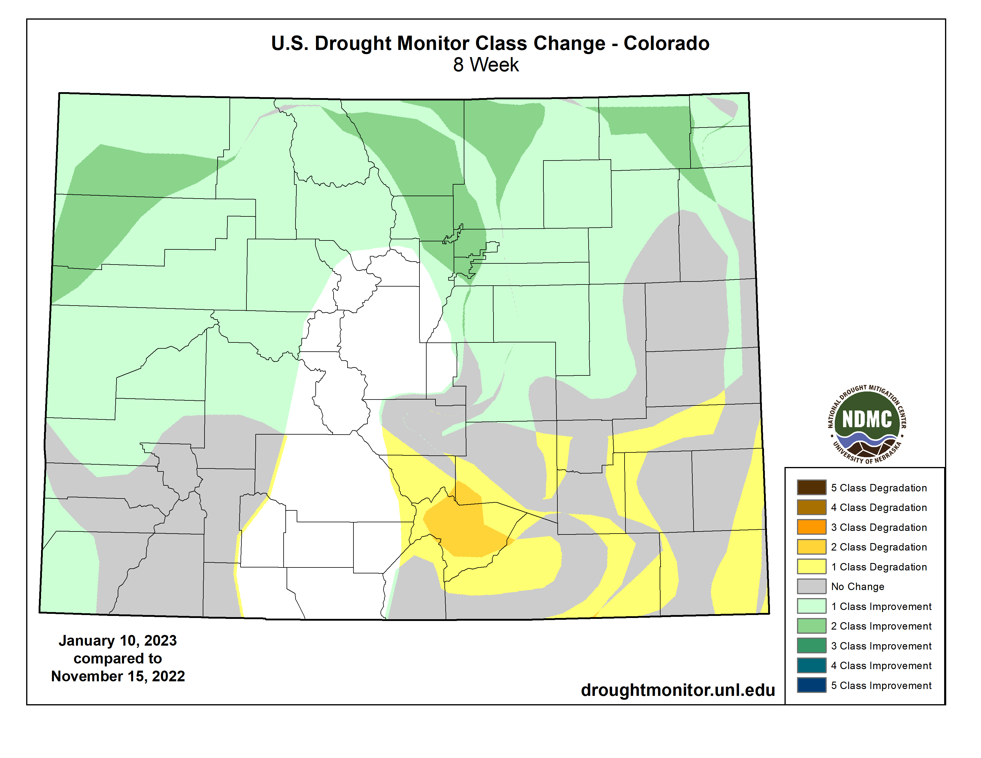
This latest storm has been very beneficial, particularly for our northern Front Range communities and northeast Colorado. It’s likely we will see improvement in the drought depiction for parts of northeast Colorado over the next week.
Unfortunately, southeast Colorado has been missing out on a lot of events lately, and this latest storm was no exception. Snowpack for the Arkansas basin is currently at 84% of average. It is the only basin below average at this time. The lower elevations of southeast Colorado have seen developing drought conditions over the past few months, with very dry conditions dominating.
SOURCE: Was the heaviness/wetness of the snow that we got anything to write home about?
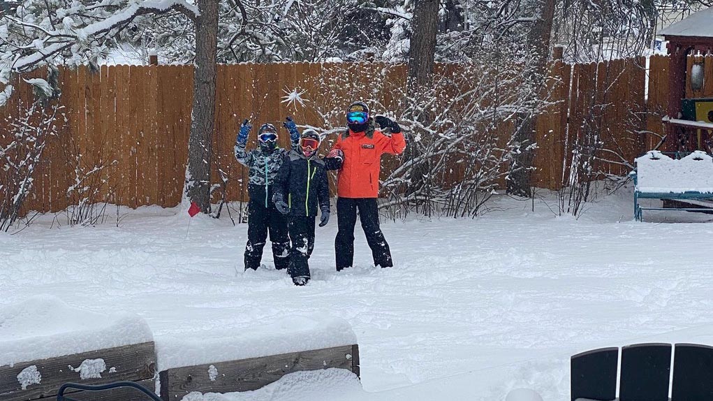
Bolinger: While some snow totals may be less than some anticipated, this was still a great accumulating event. And the snow was a lot wetter than Coloradans might be used to. Definitely not common for January. Colorado is known for a dry and powdery snow – great for skiing on – especially during the winter months. A general rule-of-thumb meteorologists use is a 10-to-1 ratio – for every 10 inches of snow, you’ll get 1 inch of liquid. But for Colorado, especially near the middle of the snow season (December-February), that ratio tends to be higher. Getting into those warmer spring months of March and April, we expect that ratio to be a bit more representative.
SOURCE: Has this January been unusually snowy compared with previous years on record?
Bolinger: It depends on where in the state you look. For our higher elevations, January is a big time for snow. But for our lower elevations, January tends to be a lower snow total month, taking a back seat behind November, December, February and March. While this storm was hyped, many of our lower elevations haven’t had a lot of snowy days this January. In Fort Collins for example, our average snowfall from Jan. 1-17 is 3.5 inches — and before this storm, we were below average at 2.1 inches. So, this storm will bump us up above average, but it’s not anything spectacular. In northeast Colorado though, there are locations that have seen 10 inches this January so far, when their normal for the entire month is around 4 inches.
It turns out this was one of the biggest January snows for Denver in 30 years. So, while January as a whole hasn’t been incredibly snowy, this storm still stands out.
